Greetings,
This post will have contribution from both Nate and myself (Tuan). As stated in my previous post, I wanted to provide more details on the hikes and a little less fluff on personal anecdotes. The goal of the hike was to get a more technical peak under our belts for our preparation for the South America trip. We chose the Father Dyer peak a couple of months back with the Labor Day weekend as the target date.
Hike Summary
- Elevation: 13,615 ft / 4149 m
- Distance: 8 miles
- Elevation Gain: 3,600 ft
- Route: East Ridge
- Class: Easy Class 3
Getting There
Directions from Denver to Father Dyer Trail head
View Larger Map | Get Directions | View Birds Eye
The link above the map will show the actual driving direction from Denver to the trail head. You can use the embedded map to generate your choice of directions. Overall the trail head is extremely easy to locate. From Denver, take I-70 westbound until the Breckenridge exit (203) and then follow CO-9 until you reach Spruce Creek Rd. The dirt road is towards the south end of Breckenridge. Once youre on Spruce Creek just follow it to the parking lot. When we arrived there Friday night there was only one other car in the parking lot however if you are planning for just a quick day trip the area does get busy. The lot was full when we arrived back to our car.
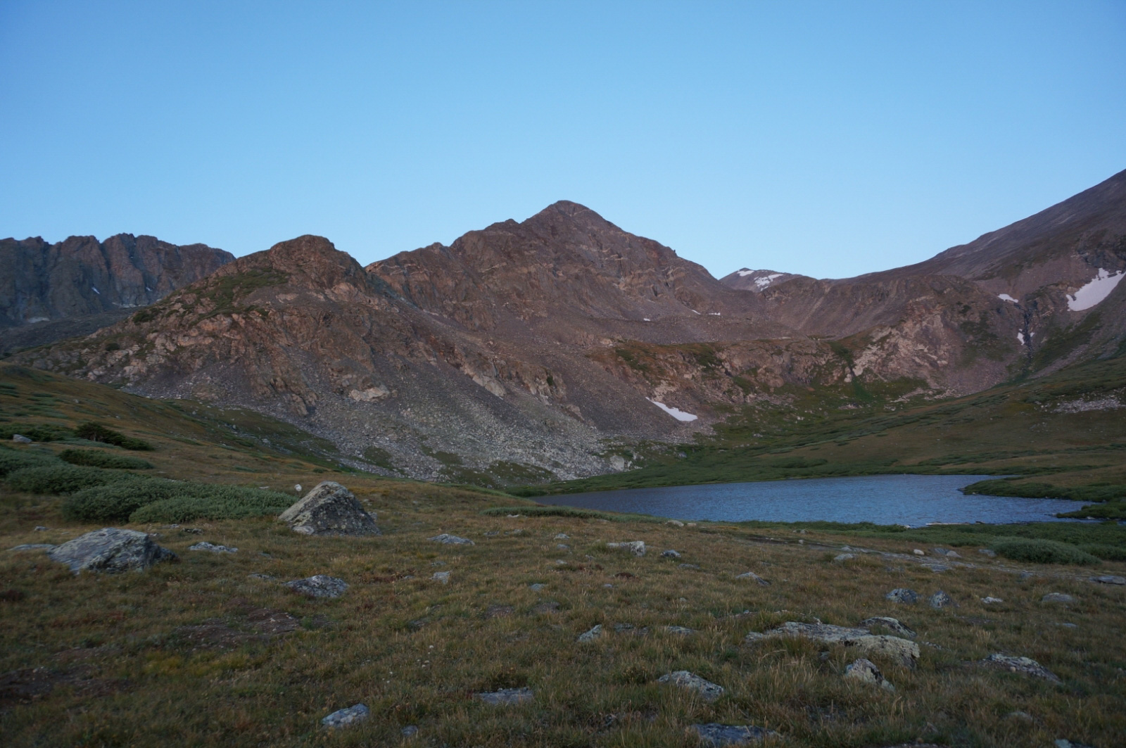
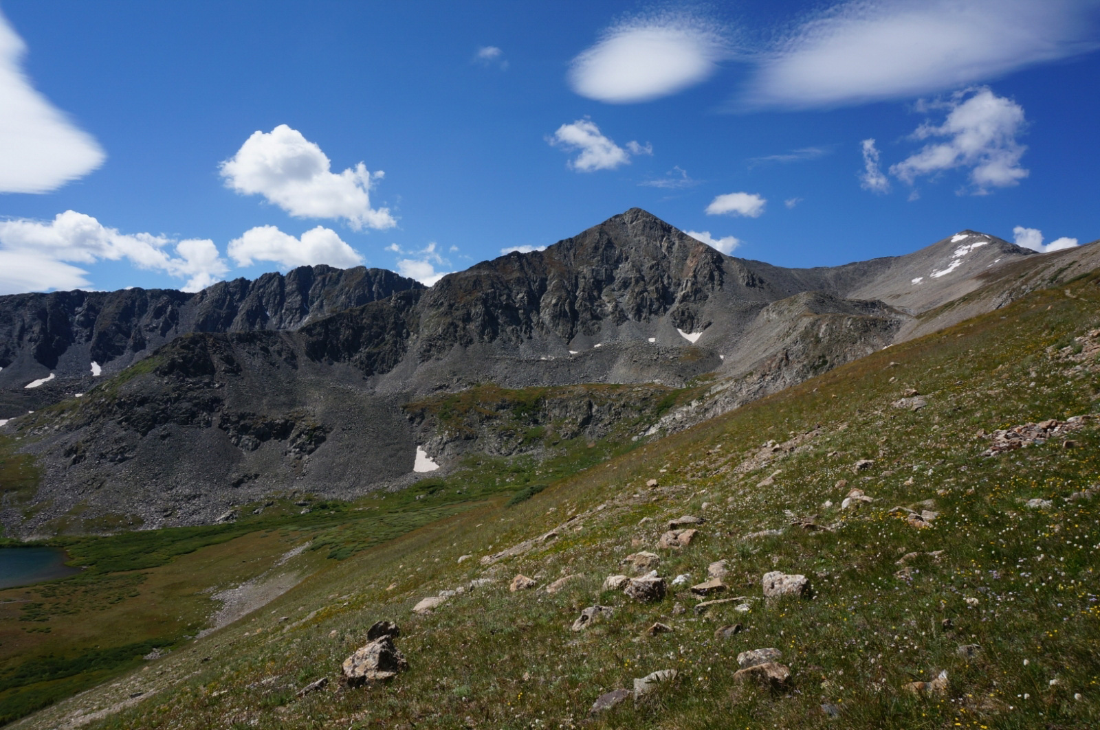
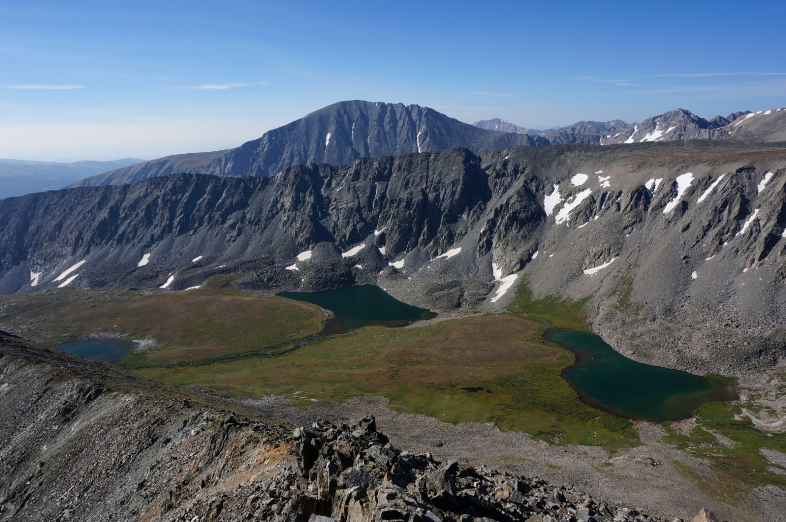
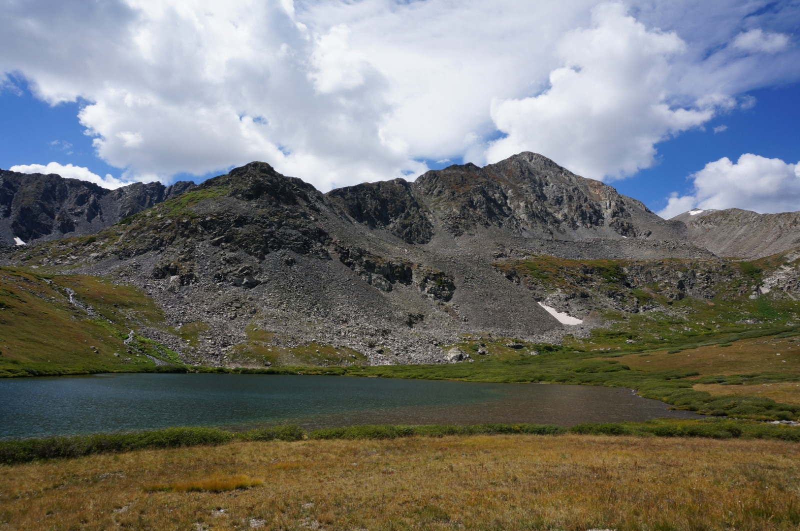
Trail head -> Lower Crystal Lake
The majority of the hike will consist of walking up from the trail head towards the Lower Crystal Lake. We did this around 9:00-10:00 PM so it was already dark out. The trail is just a 4WD trail so there is no need to do any path finding or look for any markers. Just follow the road up. This section is relatively easy, although I did struggle and lagged a bit. It may have been due to my recent arrival from sea level but we got to the camp in about 2 hours. This can be probably done a lot quicker depending on fitness level. After arriving we decided to pitch tent and just go to sleep. One thing to note on this trip was that we wanted to test out some of our South American trip equipment so we brought what we will most likely bring for the expedition. The tent is a Hilleberg Jannu 2-person. So far I think it was worth every penny.
- Duration: 1h:53m:46sec
- Distance: 2.29 mi / 3.68 km
- Min Altitude: 10330 ft / 3148.5 m
- Max Altitude:12032 ft /3667.3 m
- Total Ascent: 1686 ft /513.8 m Lower Crystal Lake -> Father Dyer Peak (Summit)
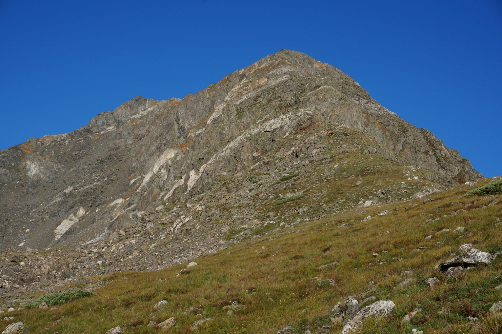
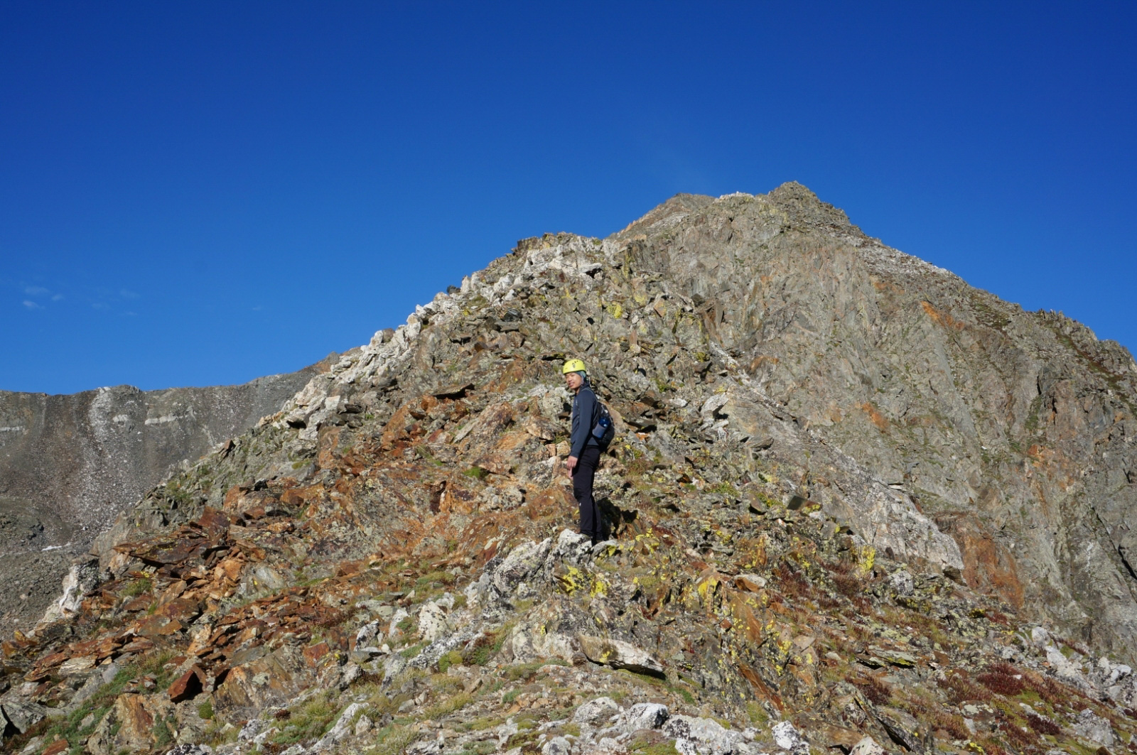
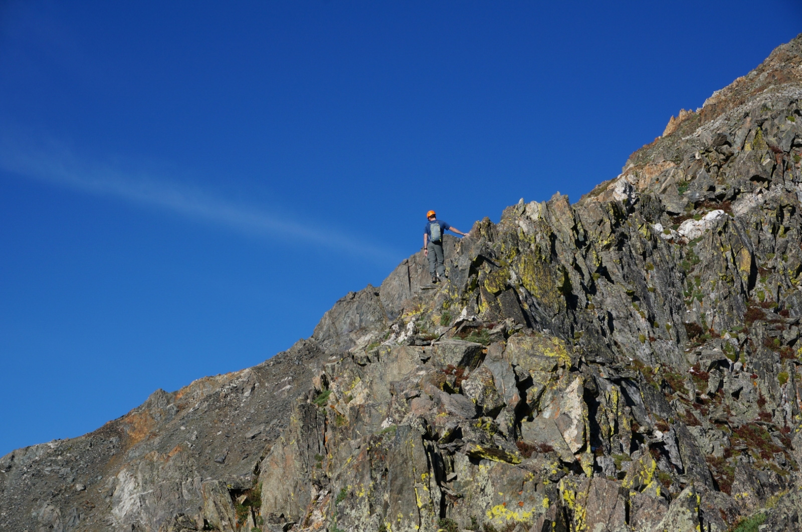
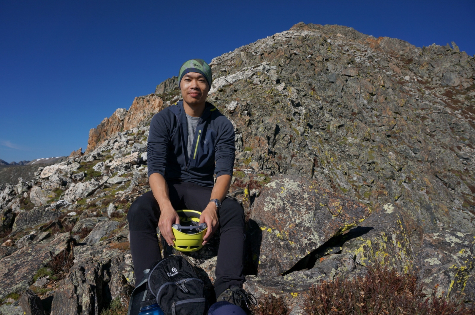
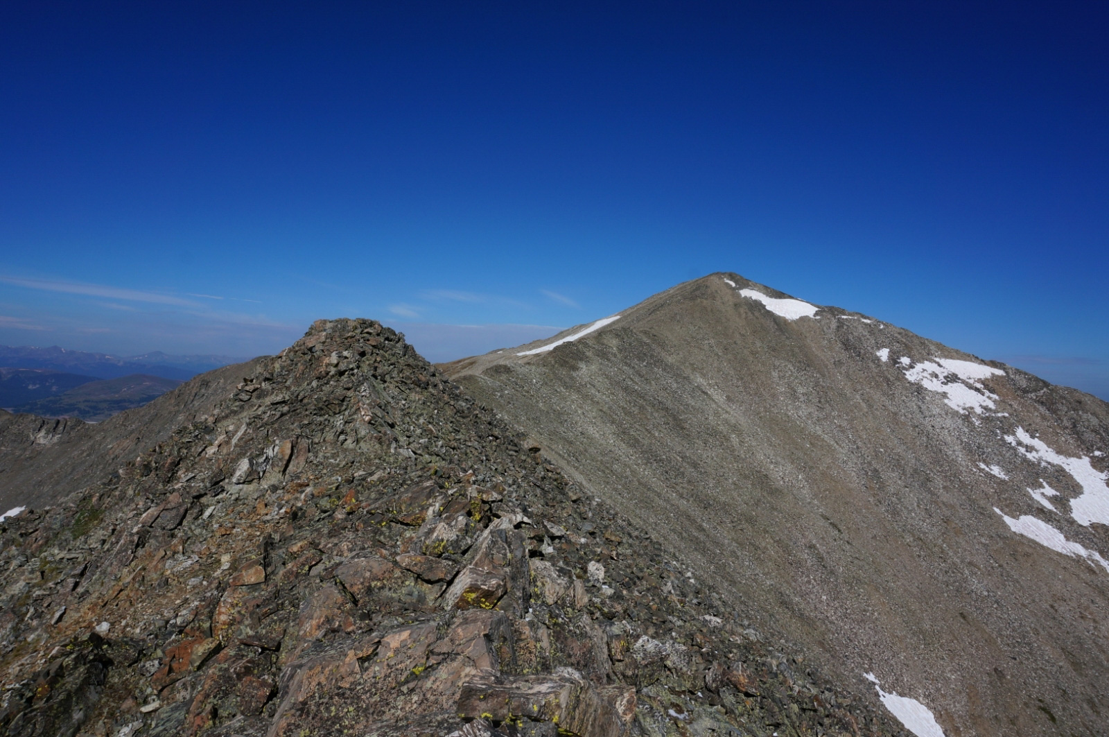
This section was definitely the most enjoyable part of our hike. We woke up around 6:00AM and cooked some Ramen noodles to test out the MSR Dragonfly stove. Stove worked wonderfully, Ramen wasnt too bad either. Nate splurged and picked up some Korean ones rather than the standard $.10 Maruchan packets. Since this was our first time doing what was considered a easy class 3 we decided to take our climbing helmets up as well. For the first hour it was just a basic trail. Once we got to the ridge things got a little more technical and that is where the trail disappears and we hadto find our own route up by pretty much staying on the ridge line the whole time.
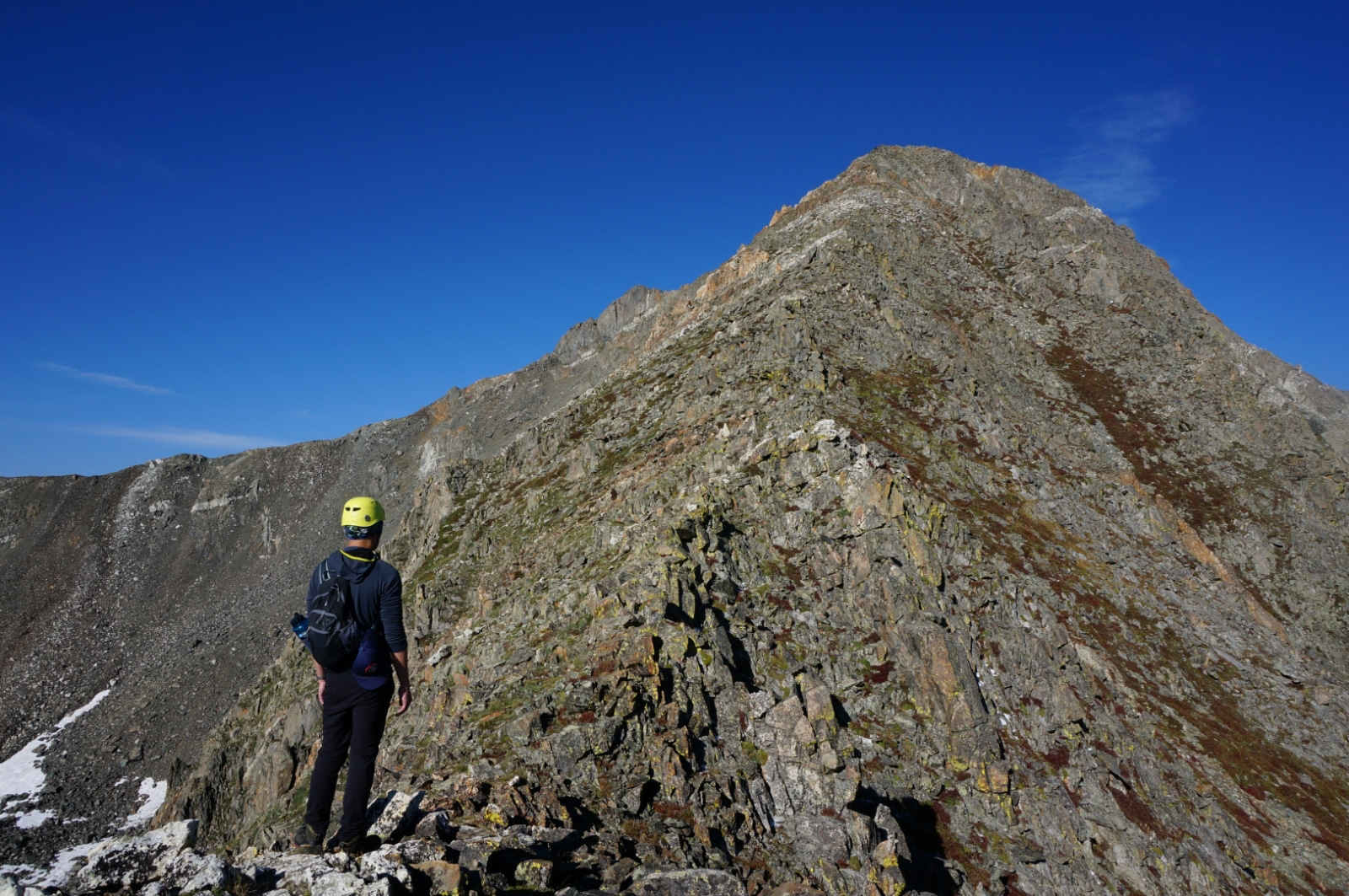
Scrambling up the rocky formations took us about another hour. We arrived on the summit around 9:30AM.
- Duration: 1h:44m:52sec
- Distance: 1.02 mi / 1.64km
- Min Altitude: 12032 ft / 3667.3 m
- Max Altitude:13656 ft / 4162.3m
- Total Ascent: 1624 ft / 494.9m
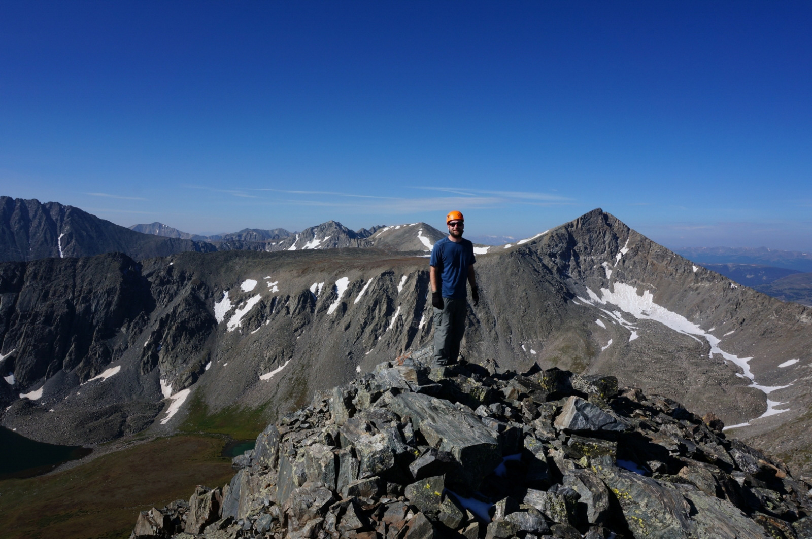
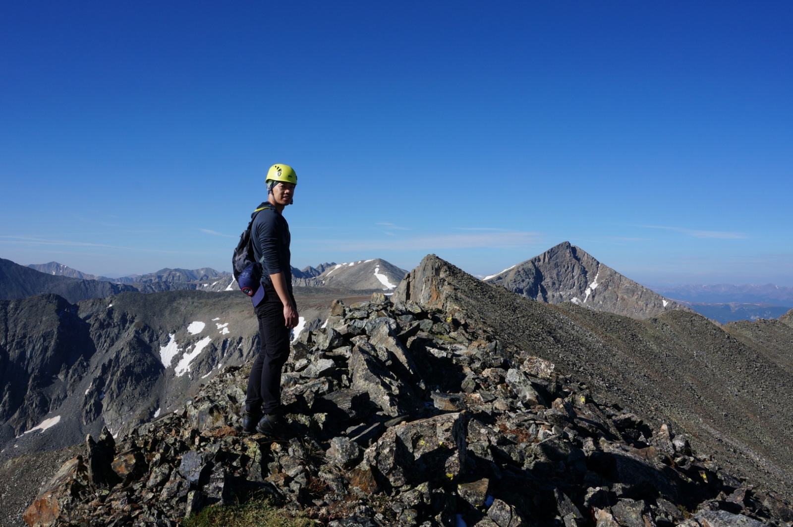
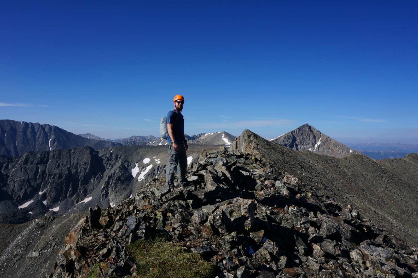
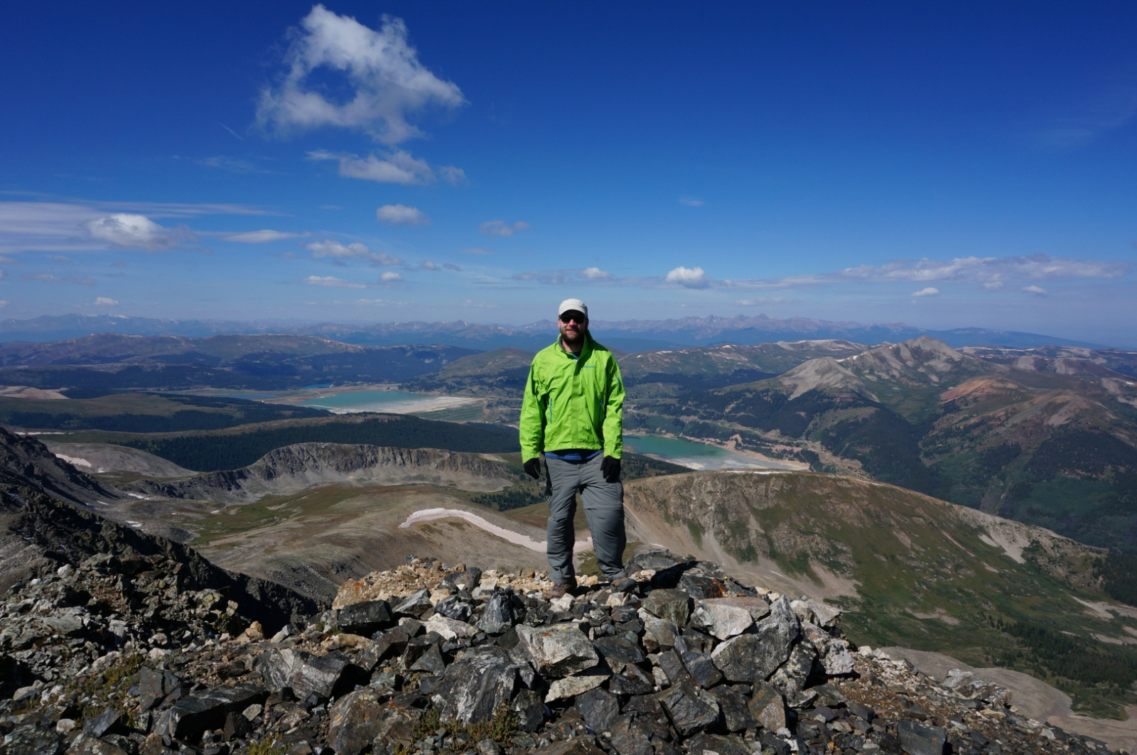
Father Dyer Peak -> Crystal Peak (Summit)
The saddle between the two peaks is just a standard class 2 hike, no real scrambling involved.
I was mentally out of it at this point. The exhaustion from the previous day travel finally settled in. There isnt too much to this section besides just traversing between the two peaks. We were going to have lunch on the summit of Crystal but I was tired and needed an energy boost so we broke out the sandwiches. It took us about 1 hour and 45 minutes to reach the peak. You can probably shrink the time down back to 1 hour between the peaks.
- Duration: 1h:34m:14sec
- Distance: 0.78 mi / 1.25km
- Min Altitude: 13552 ft / 4130.6 m
- Max Altitude:13908 ft / 4239.1m
- Total Ascent: 356 ft / 108.5m
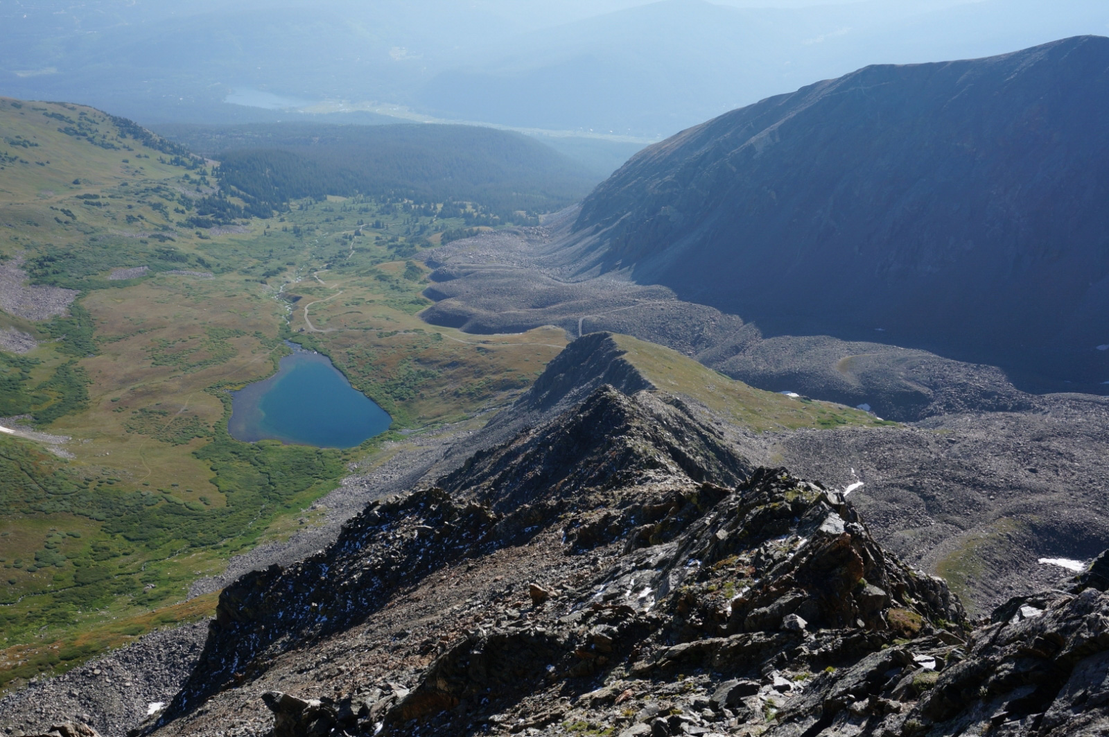
Crystal Peak -> Trail Head
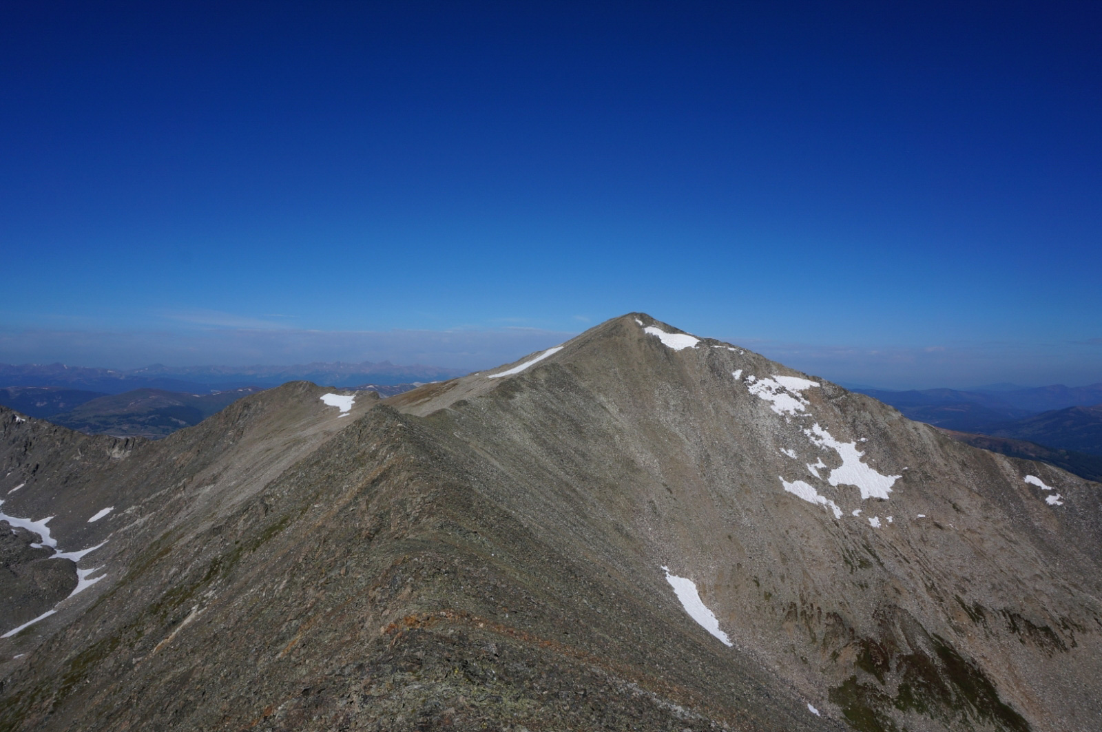
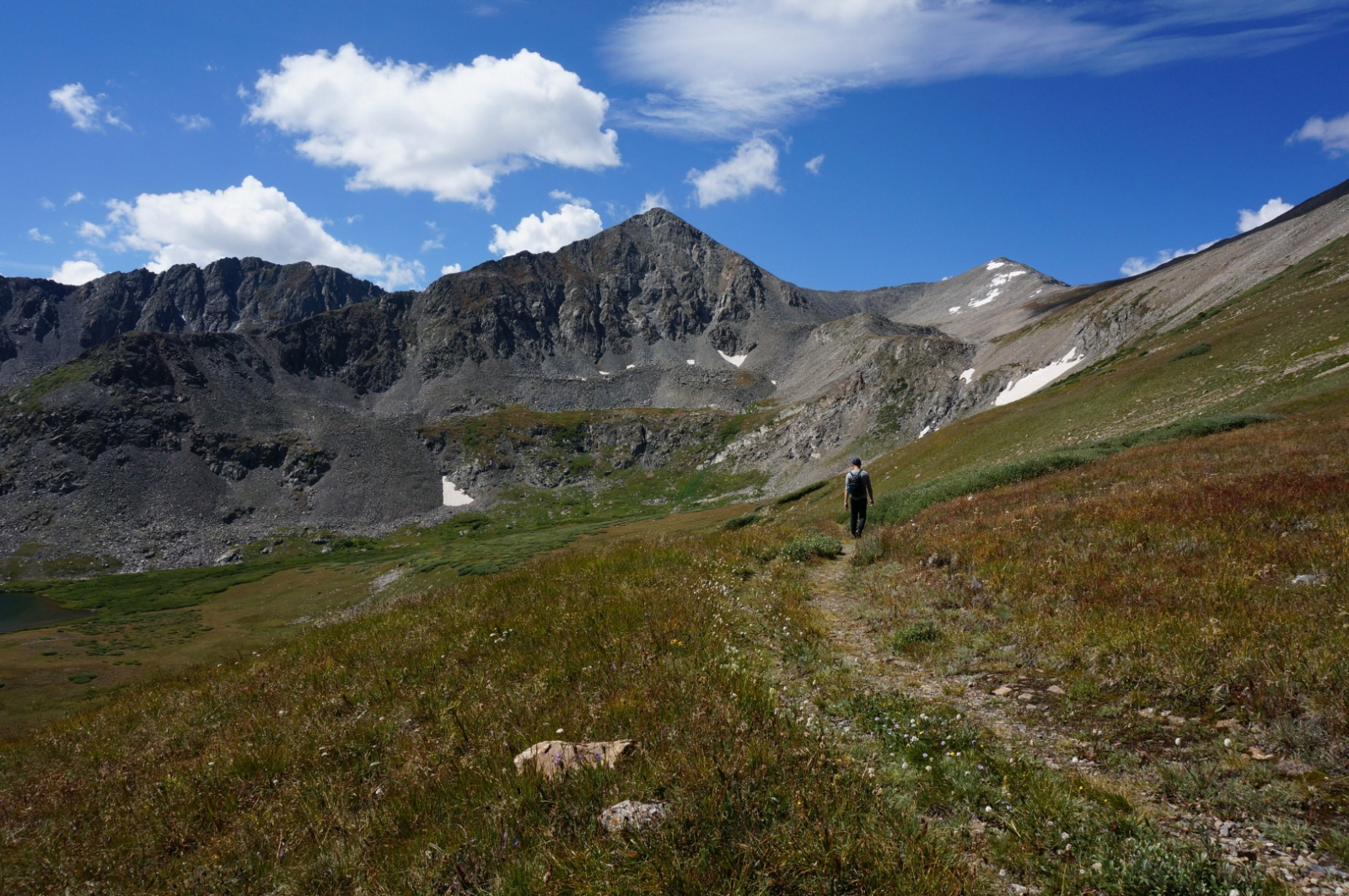
The winds started picking up on the summit so we didnt stay for too long. Rather than looping back to Father Dyer we used Crystals NW ridge route back down to our camp. The descent was pleasant stroll, no large boulder fields to hop around on. The trail is pretty clearly marked and visible so you shouldnt get lost.
Once we got down we packed up and started for our decent back down the 4WD road. We finally saw other people on the trail at this point. It was a holiday and we were definitely expecting to see a lot more people but it was sparse up there. It took about over an hour to get back down to now a full parking lot. Overall the hike was good. Nothing too strenuous and just the right amount of technical for a starter. There shouldnt be any concerns regarding the difficulty of the East Ridge route for Father Dyer and would definitely recommended it to anyone as their first adventure into class 3 terrain. Its pretty straight forward and can probably be done in about 4 hours.
Cheers,
Tuan